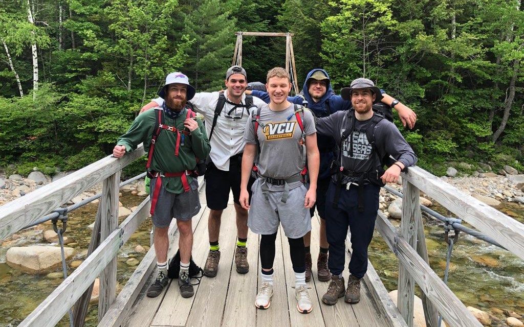
This post is a recount of my backpacking trip to the White Mountains in New Hampshire 06/12/20-06/14/20.
My friends and I planned a trip to backpack the White Mountains in New Hampshire. The goal was to cover a 25-mile semi Pemi Loop from Friday through Sunday, then camp near the foot of Mt. Adams Sunday night and hike it Monday. We didn’t end up making it to Mt. Adams.
Day 1: Just like a fort night
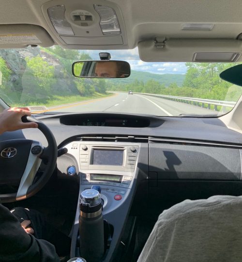
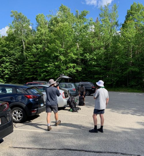
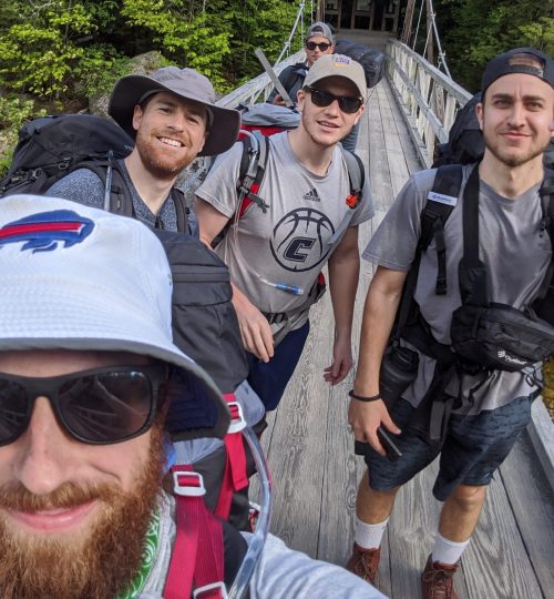
James and Gabe swung through from Buffalo to pick me up around 7 am. We departed around 8 am for New Hampshire. We were heading for the Lincoln Woods trailhead, which is about an 8 hour drive from where I live in central New York. We made it in around 4:30 pm and met Pete and Neil who drove up from Boston.
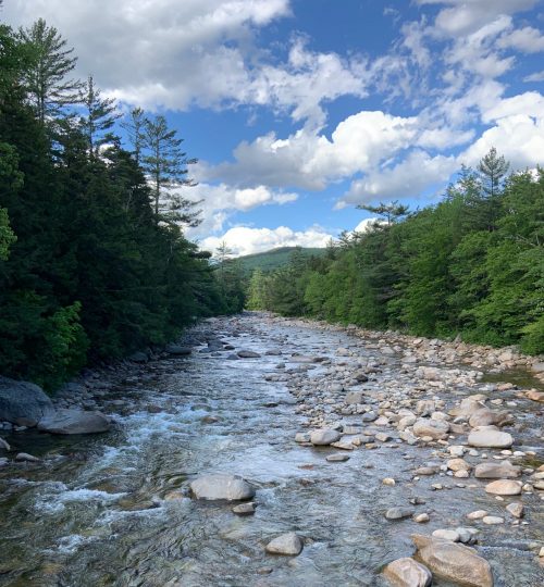
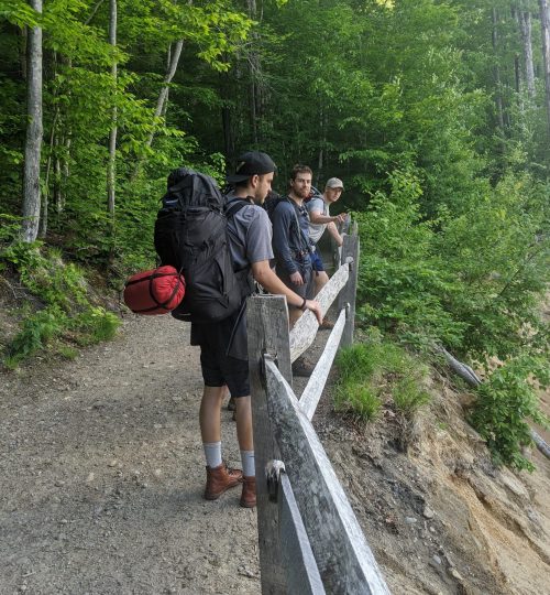
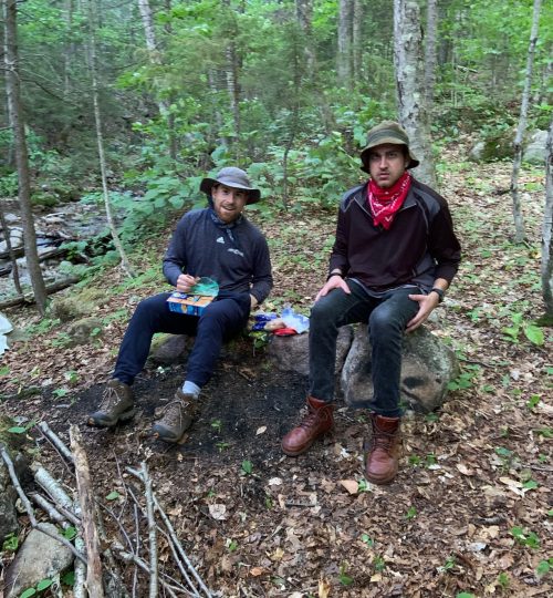
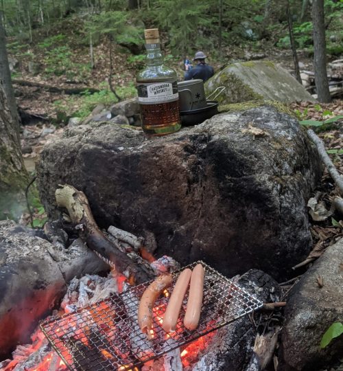
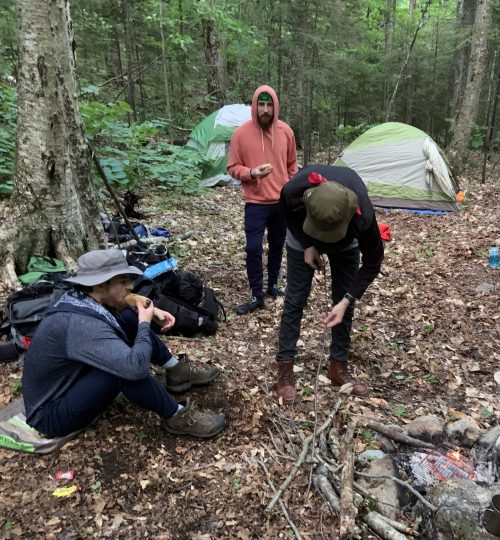
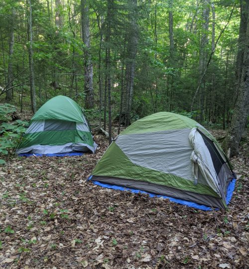
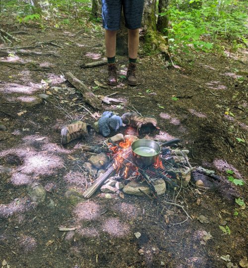
We hiked approximately two miles into the Lincoln Woods Trail before finding a suitable place to camp. We brought a ton of food for the first night: hot dogs, buns, condiments, graham crackers/Kit-Kats/marsh mellows for dessert s’mores (the grocery store was out of chocolate, probably from the doomsday preppers stockpiling), and Tennessee whiskey. We ate well and hit the sack sometime around 10 pm.
Day 2: Why did I agree to this?
We rose early on Saturday, eating breakfast around 7 am and setting out around 8 am. The goal was to hit Mt. Flume, Mt. Liberty, Little Haystack Mountain, Mt. Lincoln, Mt. Lafeyette, and Mt. Garfield. We planned to hike down to flatter ground from Garfield to spend the night for a total of around 15 miles.
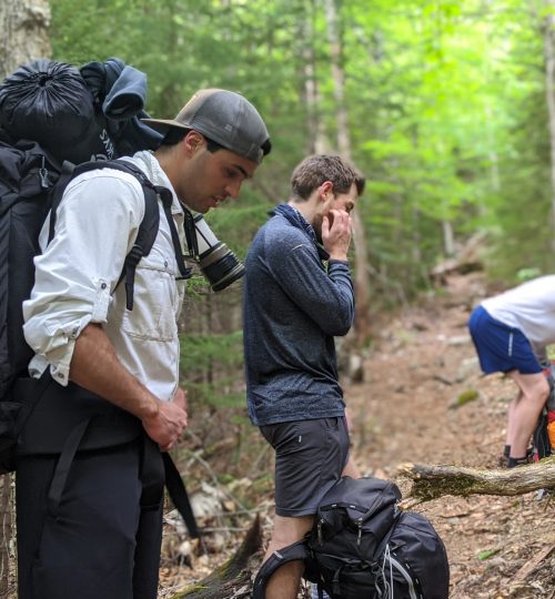
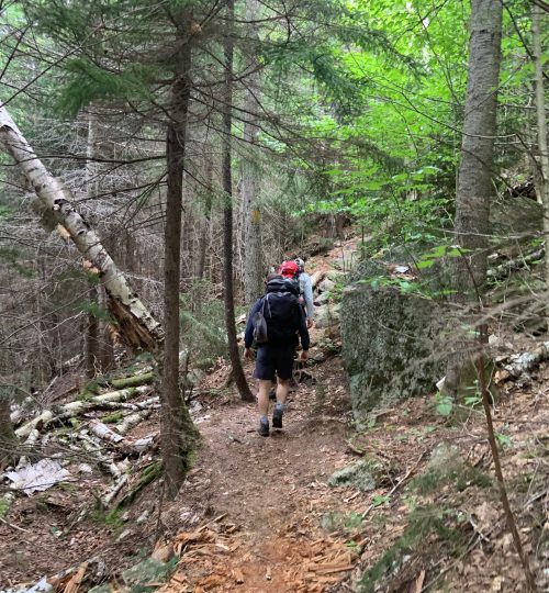
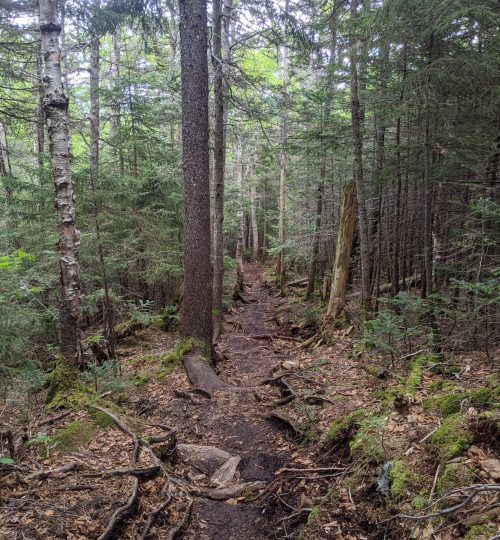
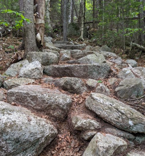
The hike up to Mt. Flume was fairly strenuous. I don’t know the exact elevation gain but it was definitely challenging. Before hitting the peak, we stopped at a nice overlook that provides a decent view. Pete, Neil, and I made it to Mt. Flume around 11 am, with Gabe and James lagging behind (Gabe does not lead a very active lifestyle and did not have very appropriate footwear, so the going was slow for him).
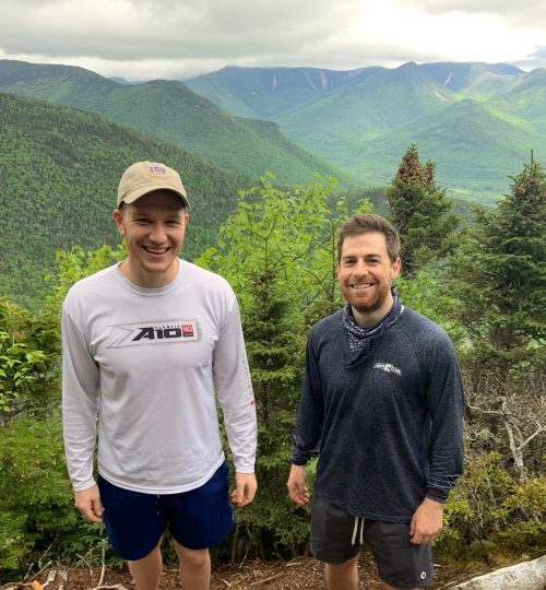
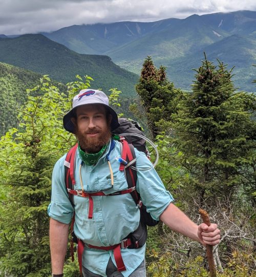
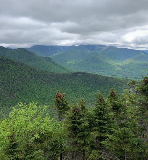
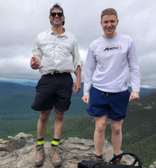
The next peak was Mt. Liberty. The hike between Flume and Liberty wasn’t terrible; there is a slight elevation loss and subsequent gain to reach the peak. Pete, Neil, and I made it to Liberty around 11:15 am. We waited for Gabe and James to catch up and we all ate lunch around 12:30 pm before setting off for Little Haystack around 12:45 pm.
I don’t really remember much of Little Haystack, but I believe it is above the tree line and more or less the start of the portion of the Franconia Ridge that laysin the alpine zone. We hit Little Haystack and then headed off for Mt. Lincoln. The hike from Little Haystack to Lincoln has a reasonable amount of elevation gain and the majority of the hike is above the tree line (from what I remember).
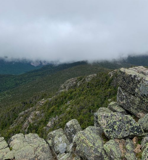
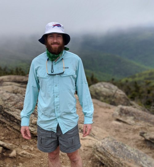
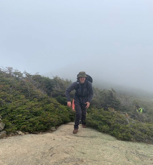
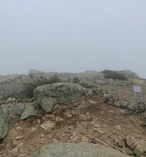
We hit Lincoln sometime around 3:00 pm (my best guess). By this time we were really feeling it, especially Gabe. Above the tree line, the winds whipped clouds across the trail and the temperature felt much colder than it probably was. I think we had stopped taking pictures at this point and just carried on to Mt. Lafayette.
I suspect we hit Lafayette sometime around 4:30 pm, although it could have been later. We snagged a few pics as we traversed the ridge. By this point, we were beat. My legs were fatigued but the real issue was the discomfort in my shoulders/back from my heavy backpack. I had no idea how Gabe had made it this far as he does not lead an active lifestyle and did not prepare for the trip in any way. The mental toughness he exhibited was incredible. He said he might die before we finished the hike; I didn’t respond to his comment.
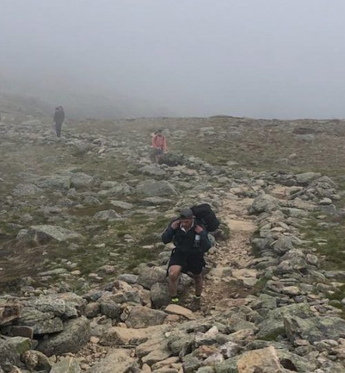
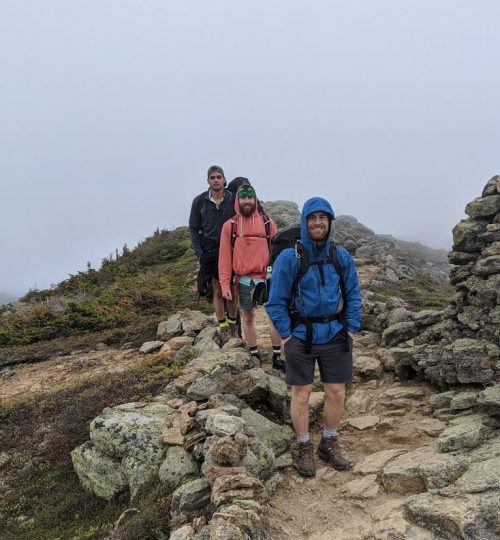
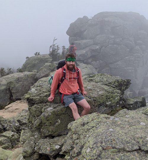
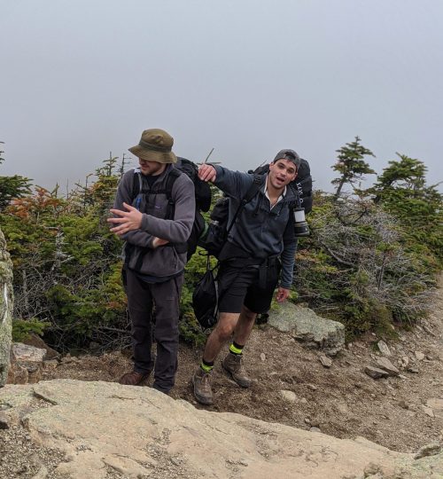
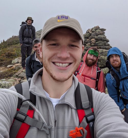
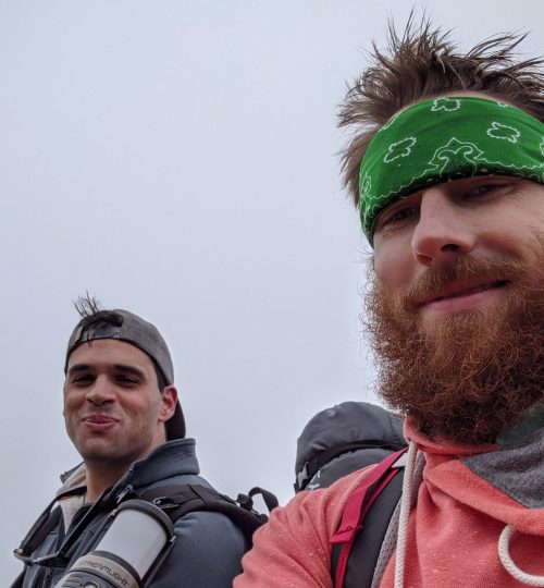
It was now up to us to quickly hit the last peak (Garfield) before sunset so we could find a suitable place to camp on the descent. I remember feeling assured knowing Lafayette was the highest peak and thought that the stretch between Lafayette and Garfield would largely be downhill. I figured that because I made it as far as I had, I would be able to make it to Garfield with relative ease. I don’t think I had ever been more wrong in my entire life.
The descent from Lafayette and the ridge was long and arduous. Due to the clouds, I was unable to see Garfield for quite some time. We finally hit the tree line and the trail leveled out shortly thereafter. Cool, I thought, the trail must be level to Garfield. Nope.
I finally reached a break in the trees. I looked out and could see a large peak very far off in the distance. I didn’t think much of it, guessing it was some other mountain on the other side of the Pemi loop. However, I was concerned because I didn’t see any tall peaks between where I was and the mystery mountain. I trudged onward and reached another clearing. Here, I could clearly see a very steep descent into a valley and then a very steep ascent to a peak, which was now closer but still quite far off. Shit, I thought to myself, it has to be Garfield
I will probably remember this moment of realization for the rest of my life. Exhausted, cold, running low on water, aching back and shoulders, legs beyond fatigue, the sunlight fading, and temperature dropping. I’ll remember looking down at the valley and then up to see Garfield jutting proudly into the sky, like a gigantic middle finger.
I honestly didn’t know if I was going to make it. Pete and Neil had sped up and left James, Gabe, and me behind. I had no idea how Gabe was going to survive the trek up Garfield. I was actually confident that he wouldn’t make it.
We trekked onward, hitting the valley and then ascending toward the peak of Garfield. We stopped at a pond along the ascent where James got water. I filled a pouch for emergency use, worried because I had only drank about a bottle and a half of water the entire day. Gabe refused to speak during the entire descent into the valley and ascent to Garfield; if I badgered him enough, he would merely slur unintelligible things or provide barely audible one-word answers. No amount of nicotine could save him at this point. I later asked him why he refused to speak and he said it was to conserve energy. It was that bad.
James scurried up to the top of Garfield to meet Pete and Neil who had made the peak already. I stayed behind with mute Gabe, doing my best to keep him motivated. I felt bad because I straight up lied a few times about being almost there. The truth was I had no idea where the hell we were.
By some grace of God, Gabe and I made it to the peak of Garfield and met Pete, Neil, and James. They had already broken out the whiskey but I wasn’t in the mood. We took some pictures as the sun was setting; it was an amazing view.
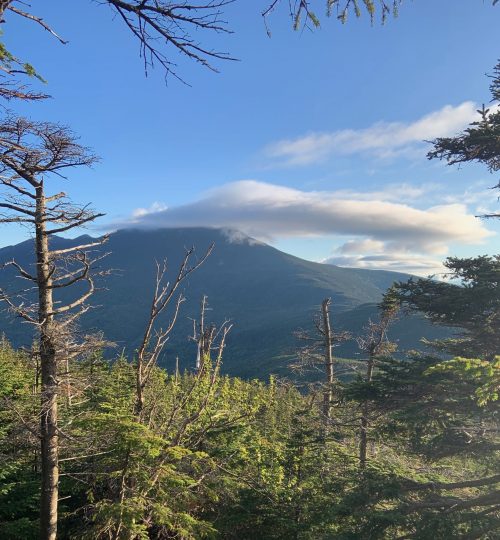
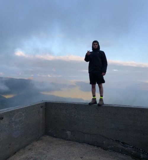
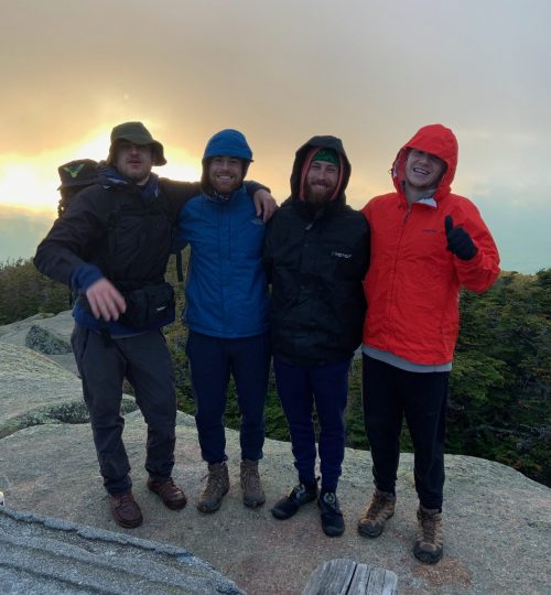
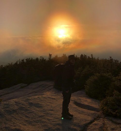
At this point, we had no desire to relish the moment because we were all exhausted and freezing cold from the strong winds lashing the barren landscape. We knew we needed to quickly head back into the trees and find a place to camp as the sun was setting. What ensued was nothing short of hell on Earth.
We began the descent from Garfield around 8:30 pm. I looked at the path before me and wondered how on Earth I was going to trudge onward. I desperately wanted to be done. I wanted to do anything other than descend the rocky trail. I was done and over it. I would have given pretty much anything at that point to teleport to a hotel to shower, eat, and sleep in a warm, soft bed. I wanted to wipe the last two hours of my life from memory. I wanted to be anywhere but where I was.
As you may have guessed, teleporting to a hotel wasn’t an option and given the very steep terrain, setting camp wasn’t an option either. We had no choice but to continue onward.
The sun sank behind the mountains and it got dark quite quickly. We found a small brook after about a half hour of hiking and filled our water pouches. By then it was pitch black. We broke out our headlamps and continued onward.
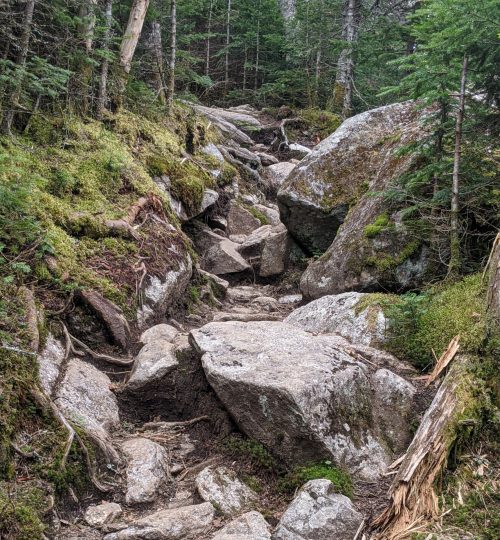
The descent trail followed a brook. In fact, it wasn’t really even a trail, it was more or less a gully of exposed rocks/boulders through which water flowed. The descent was brutal; slippery surfaces, a steep gradient, unstable rocks, and constant water/wetness under foot made the going incredibly slow, especially given that it was dark and we were relying on headlamps to light the way.
During this stretch of the hike, I didn’t think much of anything at all. My mind was numb, pain shot through my knees with every downward step I took, chills ran up and down my body, my back/shoulders contorted and cramped continually under the weight of my backpack, my ankles throbbed after being twisted and jerked many times over, and my legs felt like spaghetti.
For the first time in a long while, I found myself living in the moment. Yesterday and tomorrow ceased to exist, the farthest into the future I thought was my next step. I had no idea when we would find a suitable place to camp; mile and trail markers were non-existent, and it was pitch black. I literally had no idea when my trip through hell would be over.
I don’t know how far we made it, but morale hit an all-time low. All we could see before us was swamp and darkness. Pete decided to drop his bag and run down the trail to see if we were close to the next campsite. He returned around 10 minutes later and said he didn’t see anything.
We decided to backtrack a short ways and set camp in a reasonably flat area. It wasn’t great, but at that point I couldn’t have cared less. I fought the chills shooting up and down my body and quickly set up the tent. I shoveled some trail mix into my mouth as I had hardly eaten the entire day. I removed my contacts and brushed my teeth before crawling into my sleeping bag. I fell asleep almost immediately, even with the root I laid on jutting into my kidney.
Day 3: How does my body still work?
We woke sometime around 7 am. It was still quite chilly. I laid in my sleeping bag while James exited the tent and fell over. His legs had failed him. I knew I would be sore, but I didn’t know how bad it would be. It was bad.
We packed up the tents and forewent breakfast, opting instead to bag miles. We hiked for approximately two hours before setting up to have brunch. My knees creaked with pain for the first half hour, after which they loosened up and began to turn numb.
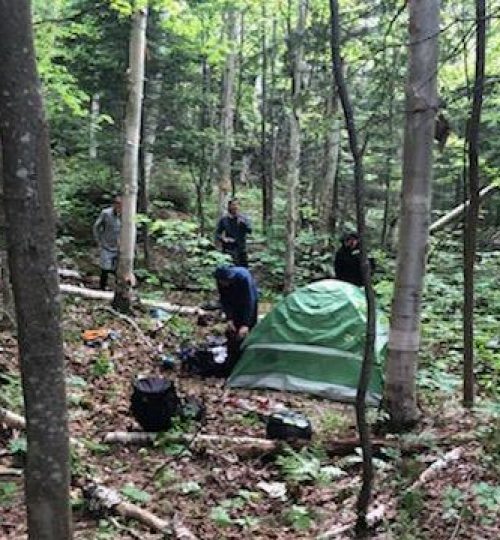
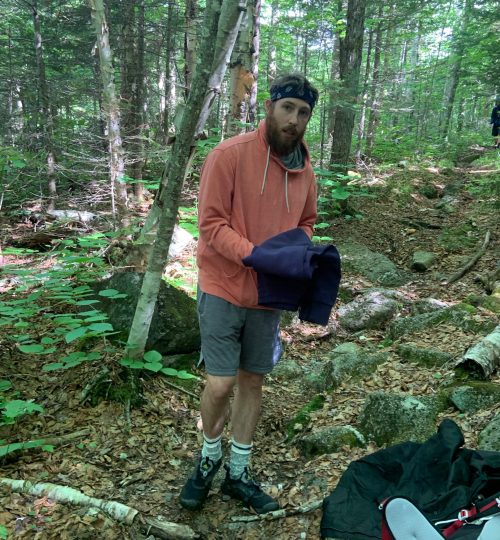
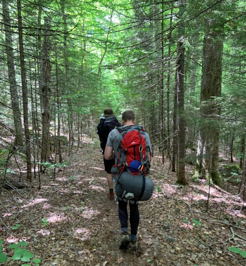
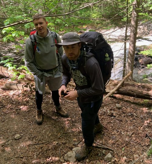
We stopped to eat brunch around 11 am near a stream. I shoveled some trail mix into my mouth and drank some water. The others drank coffee and ate oatmeal. We set back out around 12 pm.
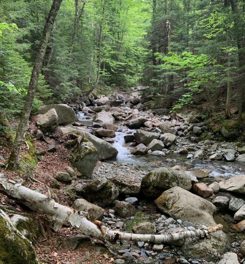
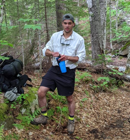
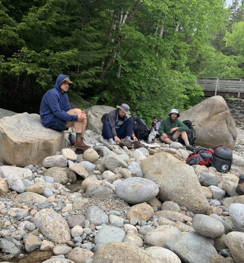
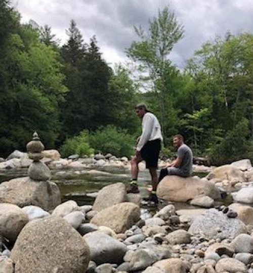
The trail flattened shortly after the area where we stopped for brunch and became quite buggy. We trekked for about an hour until we came upon a large stream. We walked down to the bank and dropped our bags to hang out for a bit. Pedestrians were plentiful and the area was quite busy, leading me to believe we were close to the trailhead (which we were).
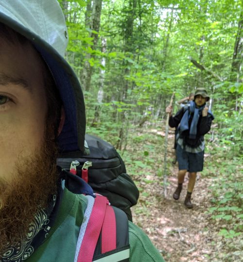
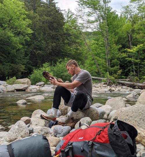
About another hour of hiking and we made it to the trailhead. It was finally over.
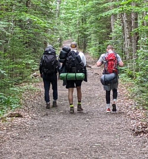
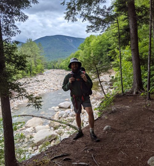
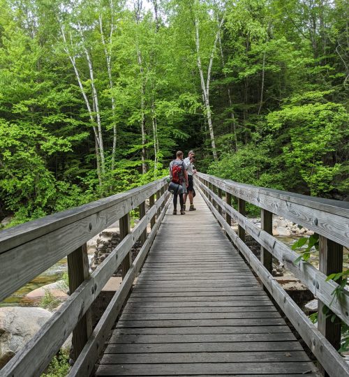
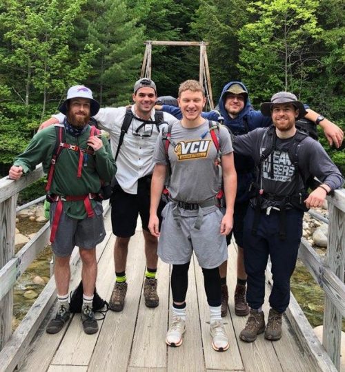
We loaded our things into the car and headed for my Pete’s house in Boston. It was about a two-hour drive from the trailhead. We arrived around 6:30 pm. We showered, ate dinner, and hung out on his deck. It was nice to be back in Boston as it had been over three years since I was there for school.
Day 4: Home sweet home
We awoke on Monday sometime around 9 am. We ate breakfast and drove downtown. We walked around the Boston Commons, Faneuil Hall, and the Charles River.
James, Gabe, and I departed for home around 2:30 pm. The drive was thankfully smooth and uneventful. We made it to my apartment around 9:00 pm and hung out for a while before they left for Buffalo.
Overall, I give my New Hampshire backpacking trip a 10/10. I give the hike from Mt. Lafayette to Mt. Garfield a -4/10.

Sounds like a couple of city boys
You got that right brother!